King Tide Season in Morro Bay: The Highest Mornings of the Year
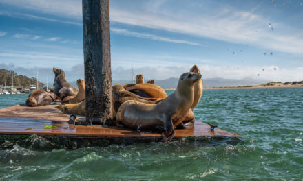
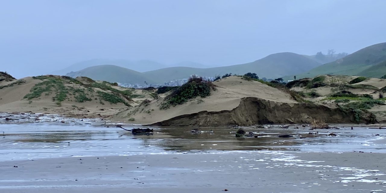
Twice a day, every day, the bay empties and refills, and most of the time nobody looks up from their chowder. A few mornings each winter are different. The water climbs past its usual line, the mudflats disappear, the boardwalk feels more like a dock, and anyone standing at the rail, longtime local or lucky first-timer, gets to watch the estuary run at full capacity. King tide season opens November 24.
It’s worth planning a morning around, and this guide covers the how: what a king tide actually is, this winter’s dates, the best places to stand, and the five-minute way your photos can help science.
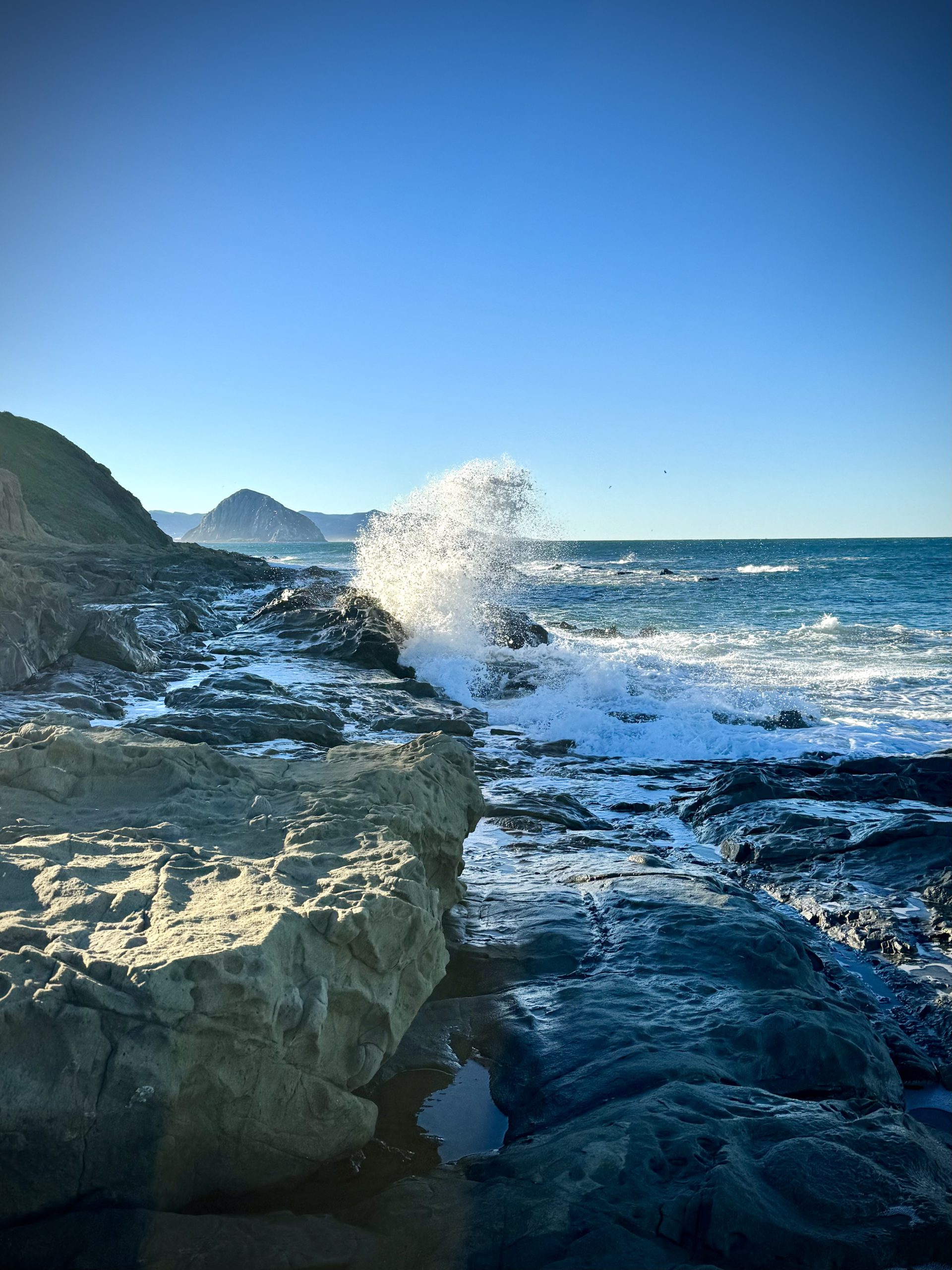
Photo Credit: coastal.ca.gov/kingtides
What a King Tide Actually Is
King tide is a nickname, not a scientific term. The mechanics are simple enough: tides run highest when the sun and moon pull together, and a few times each winter that alignment lands while the moon is at its closest point to Earth. Stack those up and you get the highest high tides of the year, along with some of the lowest lows, often on the same day. Morro Bay’s tidal range runs about seven feet, so when a king tide rolls in, the estuary transforms. The Morro Bay National Estuary Program has been documenting these mornings for years, because the high-water line they leave behind tells planners something useful about where the everyday shoreline is headed.
When to Watch
The California King Tides Project has set this season’s statewide dates:
- November 24 to 26, 2026
- December 23 to 25, 2026
- January 21 to 22, 2027
The highs land in the morning here. On Wednesday, November 25, the tide peaks at 6.9 feet at 9:13 AM, and that’s the morning to circle, because the estuary will have company: Morro Coast Audubon sets up spotting scopes on the Marina Boardwalk for the King Tide Stop and Scope, 8:30 to 11 AM, with chapter leaders along the rail to help put names to the birds the high water pushes in close. It’s a drop-in, no registration, kids welcome, come for ten minutes or stay the morning. For the December and January dates, check a tide table for the exact peak before you head out; the timing shifts a little with each cycle.
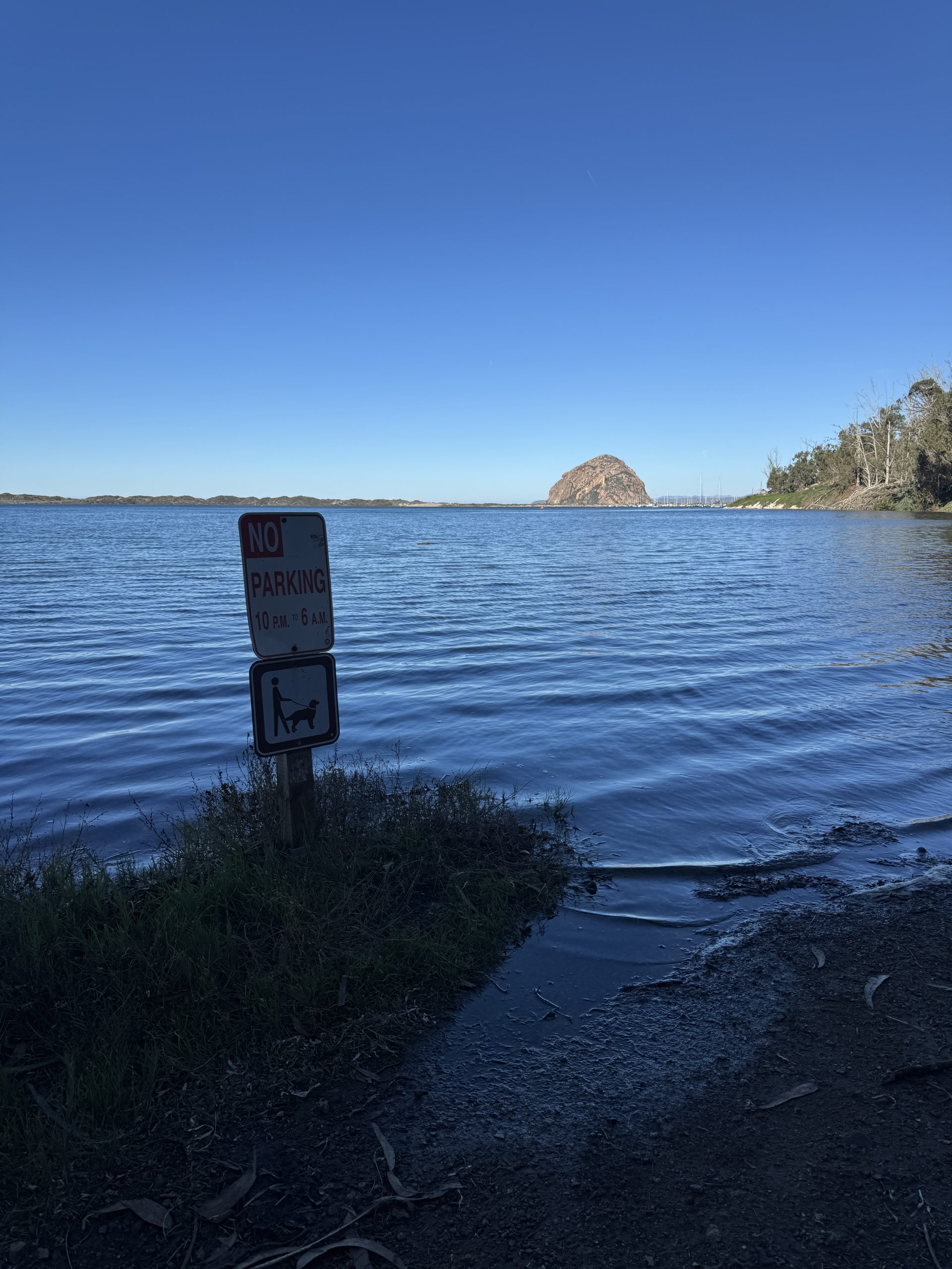
Photo Credit: coastal.ca.gov/kingtides
Where to Stand
The best king tide watching is anywhere the water meets something familiar, so you can see how far past normal it climbs.
- The Marina Boardwalk at Morro Bay State Park Marina, 10 State Park Road. The rail sits just above the marsh, which makes the rise impossible to miss, and it’s the site of the November 25 event.
- Windy Cove, next to the Museum of Natural History. At a king tide high, the cove fills to the edge of the road.
- Baywood Pier in Baywood Park. The back bay’s gentlest vantage, with coffee a block away.
- Sweet Springs Nature Preserve in Los Osos, Morro Coast Audubon’s own patch of the back bay, where the boardwalk looks out over water that is usually mud.
- The Elfin Forest boardwalk above the salt marsh, for the long view across a flooded estuary to the Rock.
- The Embarcadero, where the floating docks ride high and the working waterfront goes about its business a few feet closer to street level than usual.
Then Come Back Six Hours Later
The same physics that stacks the water up also pulls it way out. King tide days bring some of the lowest low tides of the year, and that’s its own show: mudflats stretching halfway across the back bay, and tide pools along the shoreline north of the Rock exposed far beyond their usual edge. The flats are a buffet for the winter birds, tens of thousands of them, fresh in off the Pacific Flyway to spend the season on an estuary designated a Globally Important Bird Area. Bring binoculars either way; our Morro Bay wildlife guide covers who you’re looking at. And if the birding gets its hooks in you, the Morro Bay Bird Festival returns January 14 through 18 for its 30th year, with the season’s final king tide arriving the very next week.
Your Phone Can Do Science
The California King Tides Project asks one thing of anyone standing at the shoreline on these dates: take a photo and share it. Pictures of high water against familiar landmarks, piers, staircases, roads, help scientists and planners document how the shoreline behaves at these extremes, which is the closest thing anyone has to a photograph of the future. Upload through the project’s photo map or tag #KingTides, and the Morro Bay National Estuary Program has local pointers on what makes the most useful shots.
Two notes worth taking seriously: king tide water shows up in places that are normally dry, so watch your footing and never turn your back on open water, and give the shorebirds room; they’re commuting, same as everyone.
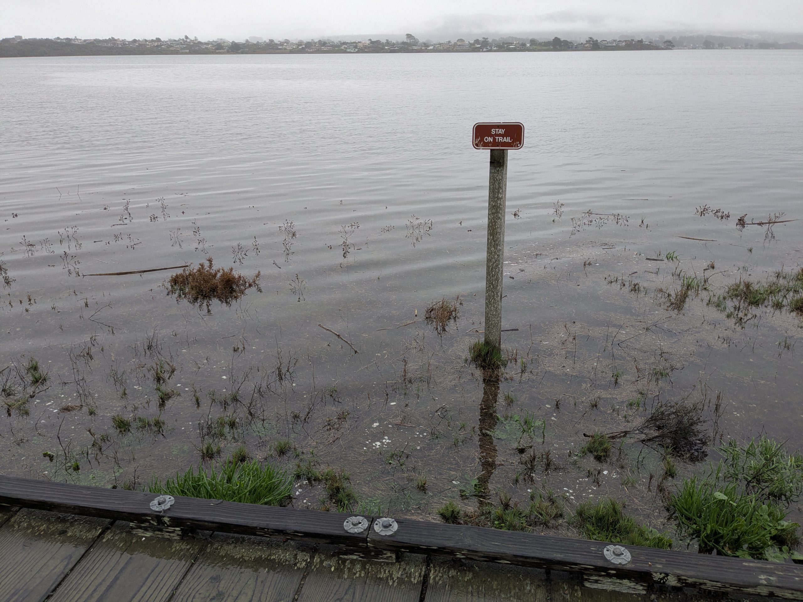
Photo Credit: coastal.ca.gov/kingtides
Make a Morning of It
A king tide peak, a walk on the boardwalk, and a late breakfast on the Embarcadero is about as good as a winter morning gets around here. The November dates land Thanksgiving week, which makes the Stop and Scope a ready-made escape hatch from the kitchen. The rest of the season’s doings, from live music to the week’s screenings, live on the Morro Bay events calendar.

About the Author
Travis Ford is the founder and publisher of HelloMorroBay, part of the Kaleidoscope Coast family of Central Coast publications. He has spent his career in marketing and communications, from agency work to international teams, and still prefers the hands-on part: writing the stories, checking the tide tables, and walking the Embarcadero to confirm the details in person. He lives in the Morro Bay area, which makes the research commute a short one. Got an event, a correction, or a story worth telling? Reach him here.